
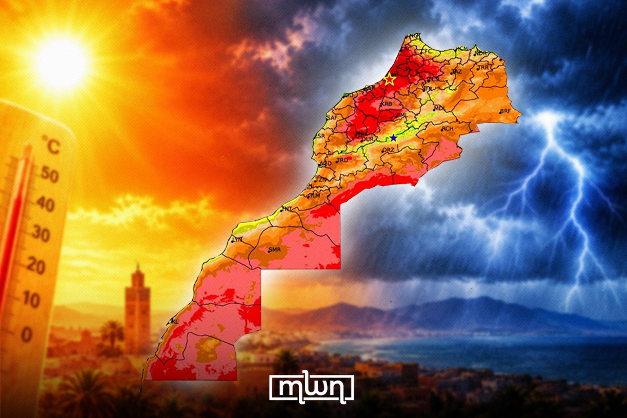
Casablanca – Morocco’s weather changed noticeably at the beginning of September after a hot August, according to the General Directorate of Meteorology (DGM). The month began with a combination of exceptionally high temperatures and, at times, intense thunderstorm activity.
August brought persistent heat, particularly to Morocco’s inland areas, the southeast and the Saharan provinces. At the start of September, however, several atmospheric factors came together and produced a more unstable weather pattern.
According to DGM’s “Weather Overview for Early September 2026 in Morocco,” the expansion of the Saharan thermal low toward the north, accompanied by southerly to southeasterly winds, pushed very hot air toward Morocco’s inland regions.
The Chergui winds also played a role, while pockets of colder air moved into the upper atmosphere.
At the same time, warm and humid tropical air masses moved into the middle layers of the atmosphere. This increased the amount of water vapor in the air and made the heat feel more intense, particularly along coastal areas and the Atlantic plains.
The combination of these conditions with the effect of Morocco’s mountains created favorable conditions for thunderstorms, especially during the afternoons and early evenings over the High Atlas and Middle Atlas mountain ranges and nearby areas. Some of the storm cells brought heavy hail and strong wind gusts.
The DGM said the weather pattern also explains why thunderstorms can form while temperatures remain very high at ground level. Heat provides the energy needed for convection, while tropical humidity supplies additional moisture that allows convective clouds to develop rapidly.
The heat reached exceptional levels on September 3rd. Sidi Slimane recorded 47.1 C, while Kenitra reached 45.1 C and Sale recorded 44.3 C, setting new September records in the respective provinces.
The meteorological agency described September as a transition period, when summer influences such as Saharan heat and tropical air can interact with the first incursions of cooler air at higher altitudes.
This interaction can create strong temperature contrasts and contribute to intense weather events, according to the agency.