Rabat – The National Agency for Water and Forests in Morocco released on Monday new information pinpointing regions most vulnerable to wildfires.
The agency has created forecast maps to help identify areas at high risk of forest fires. The initiative aims to improve national preparedness and prevention strategies.
Starting today, and continuing until Wednesday, the agency will provide daily updates on regions prone to wildfires.
The updates are based on an analysis of forest cover types, their flammability, climate forecasts, and the topographical conditions of various areas.
Those at extreme risk, marked in red, include Chefchaouen, Taza, Ksar es-Seghir, Sefrou, Khénifra, Ifrane, Beni Mellal, Azilal, Oujda-Angad, and Taroudant.
Areas at high risk, indicated in orange, cover Tangier-Assilah, Ouezzane, Taounate, Al Hoceima, Driouch, and Essaouira.
Regions at medium risk, shown in yellow, include Tetouan, M’diq-Fnideq, Larache, Fahs-Anjra, Rabat, Salé, Temara, Kenitra, Nador, Berkane, and Agadir-Ida Ou Tanane.
The agency is urging residents near forested areas, along with workers, tourists, and visitors, to be cautious and avoid activities that could potentially ignite a fire.
It also advised them to promptly report any signs of smoke or suspicious behavior to local authorities.
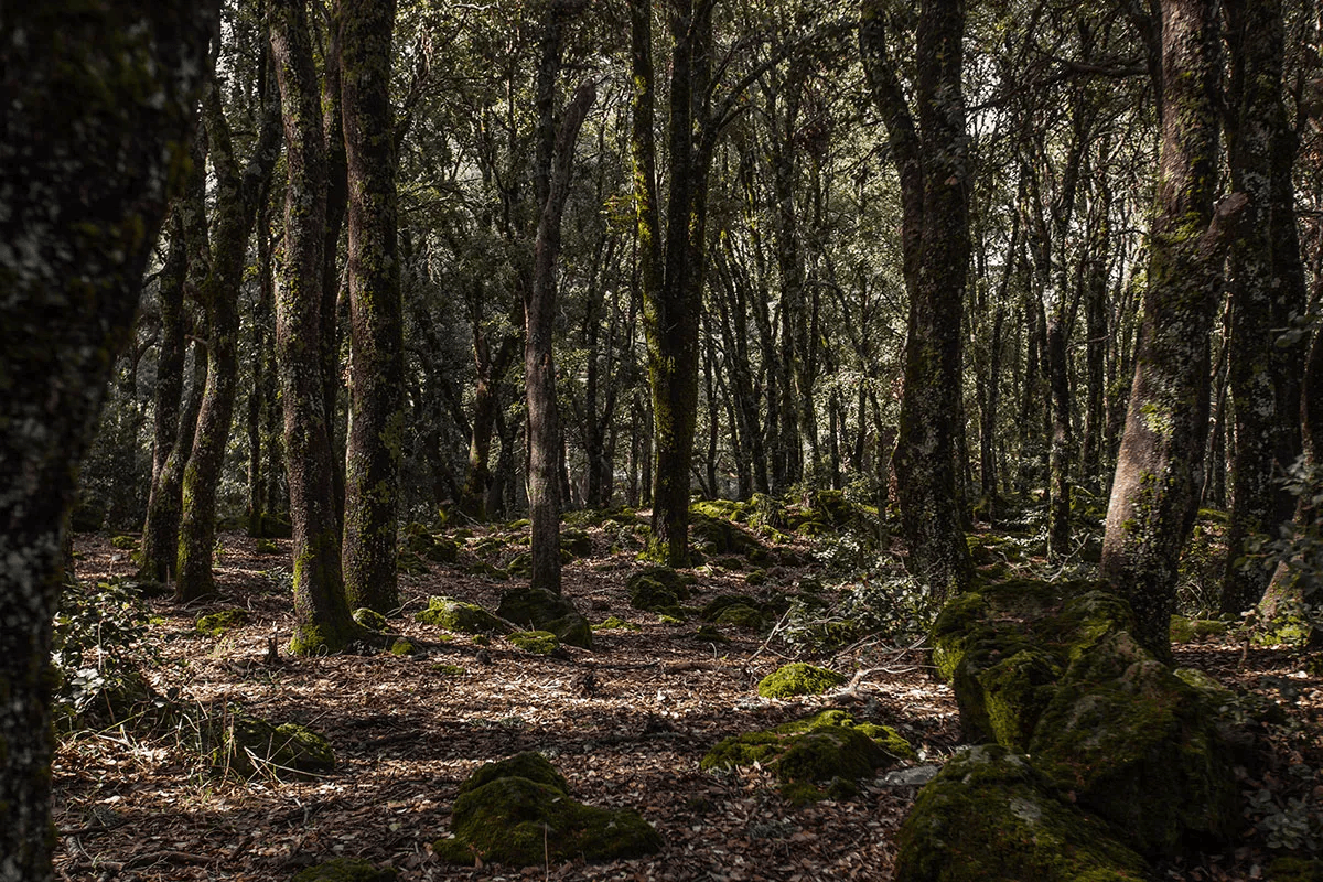
Wildfires are increasingly threatening biodiversity in Morocco. In 2023, the country saw 182 wildfires, destroying over 1,200 hectares of woods.
With 68 outbreaks and a burned area of 881 hectares, which accounts for 70% of the country’s total, the Tangier-Tetouan-Al Hoceima region has borne the brunt of these fires.
The Souss Massa region comes in second, accounting for 190 hectares or 15% of the total burned area.