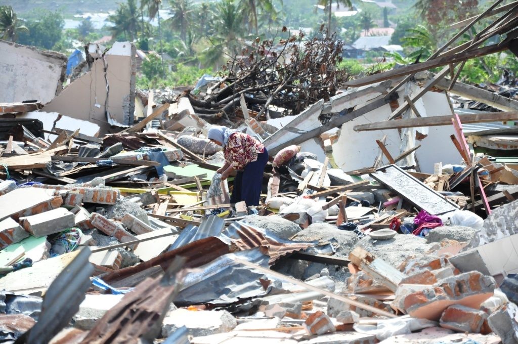
Rabat – A magnitude 7.1 earthquake followed by aftershocks shook Bali and other Indonesian islands on Tuesday morning, the US Geological Survey (USGS) said.
The quake struck at great depth, some 515 kilometers offshore to the northeast of Bali at 3:55 a.m. local time, according to the institute.
The tremors were felt across Bali, as well as on the neighboring islands of Lombok and Sumbawa, prompting an evacuation of tourists.
Two aftershocks of magnitude 5.4 and 5.6 were recorded by the USGS. Hotels evacuated guests and staff patrolled beaches, fearing a possible tsunami.
The authorities reported no immediate damage. “Our teams are assessing the situation and gathering information from residents,” said the country’s disaster management agency in a statement.
Indonesia experiences frequent seismic and volcanic activity due to its position on the Pacific “Ring of Fire,” where tectonic plates collide.
On November 21 of last year, a magnitude 5.6 earthquake struck West Java province, killing over 600 people.
Back in December 2004, an earthquake off the coast of Sumatra in western Indonesia, killed more than 230,000 people as far away as Sri Lanka, India, and Thailand.
Measuring 9.1 in magnitude, the earthquake generated gigantic waves, up to 30 meters high on the shore of Banda Aceh, in northern Sumatra.
Read also: UN: Turkiye Earthquake Damage to Exceed $100 Billion